Smart City IoT Waste Management
Cleaning Up the City: An IoT-Enabled Solid Waste Management (SWM) Ecosystem
Executive Summary
Solid Waste Management (SWM) is often the most visible metric of a city’s administration. For a major urban Development Authority, managing hundreds of contracted vans and thousands of pickup points manually was leading to inefficiency, missed collections, and citizen complaints.
Renderbit Technologies engineered a Garbage Van Tracking Solution (VTS) — a comprehensive IoT ecosystem that digitizes the entire waste collection chain. By combining NFC Proof-of-Service with Real-Time GPS Telemetry, we transformed a chaotic, opaque process into a transparent, data-driven utility service.
The Solution: A Connected Civic Grid
We moved the city from “Manual Logs” to “Digital Twins.”
The Driver App (Proof-of-Service) We equipped waste collection drivers with a specialized Android tool designed for accountability.
NFC Validation: We installed Ntag213 NFC tags at every registered premise. To log a pickup, the driver must physically scan the tag with their device. This creates irrefutable “Proof of Presence.”
Geofenced Routes: The app utilizes Google Maps to guide drivers along optimized paths, ensuring no bin is left behind.
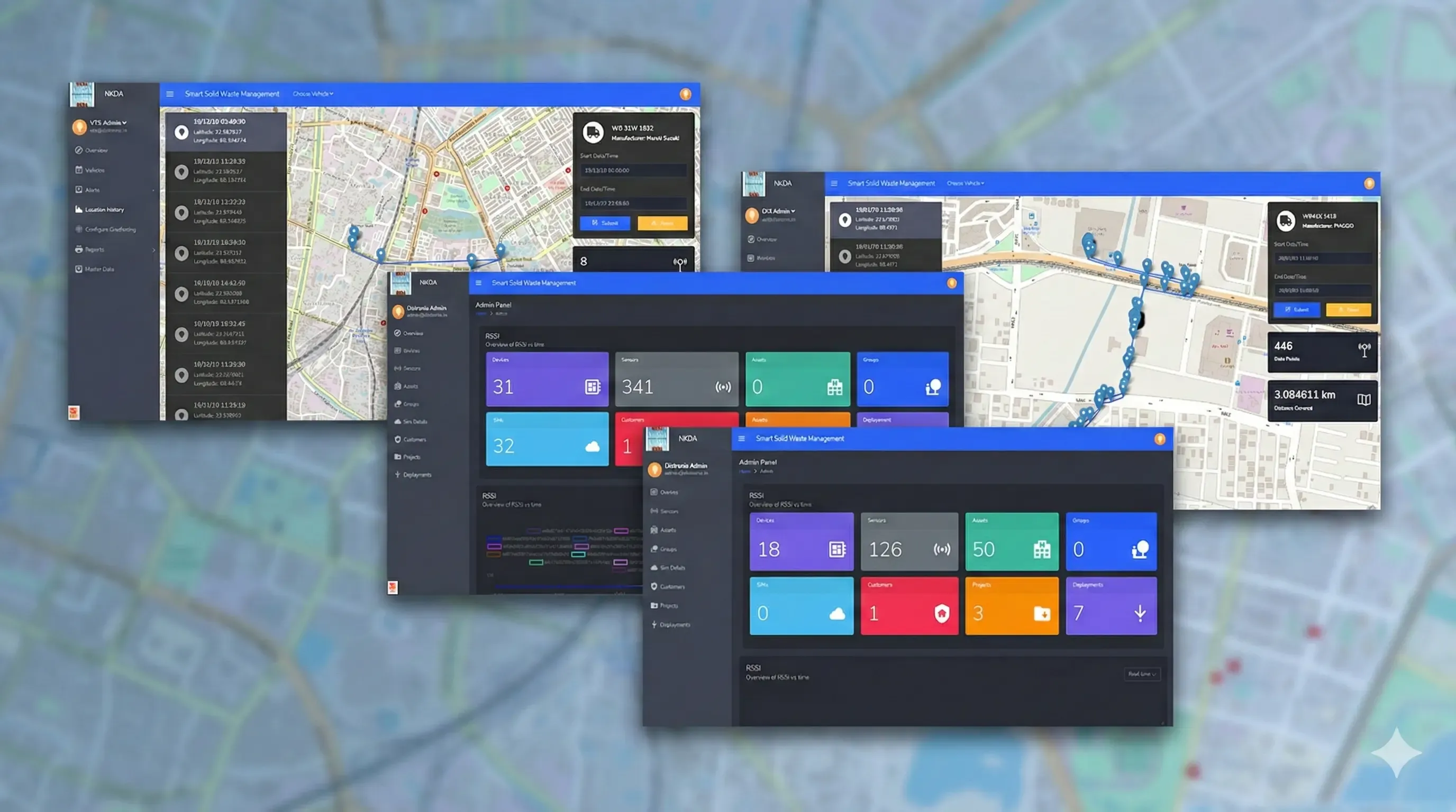
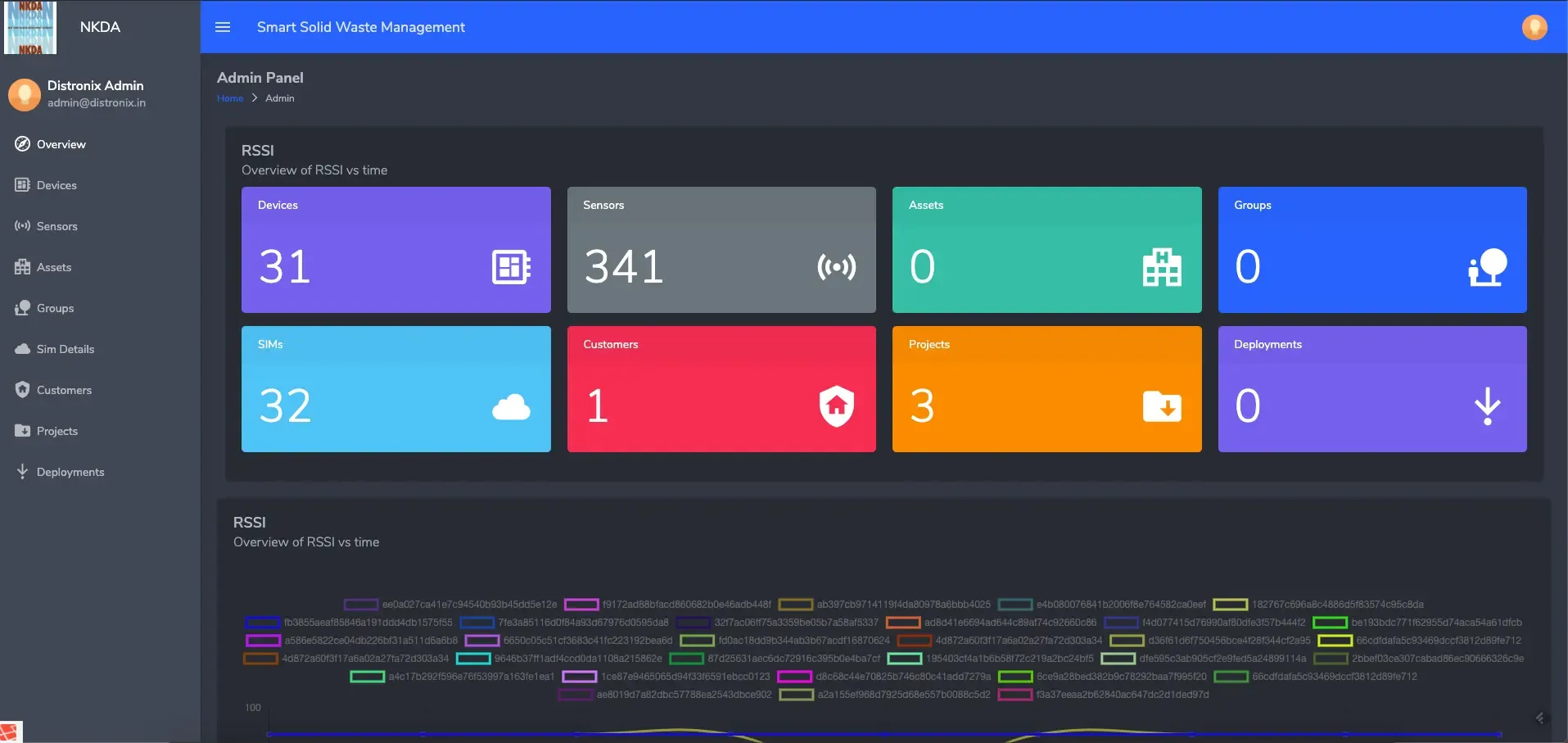
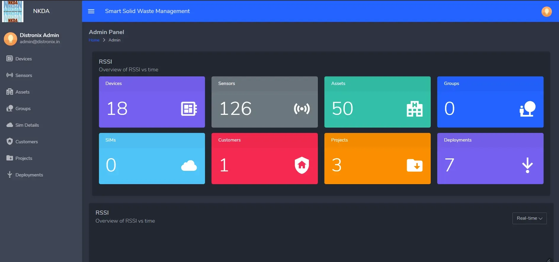
- The Admin Command Center (Live Operations)
Real-Time “God Mode”: Administrators have a live map view showing every van (moving icons) and every bin (color-coded dots). A bin turns Green instantly upon scanning; unswept bins remain Red, allowing for immediate intervention.
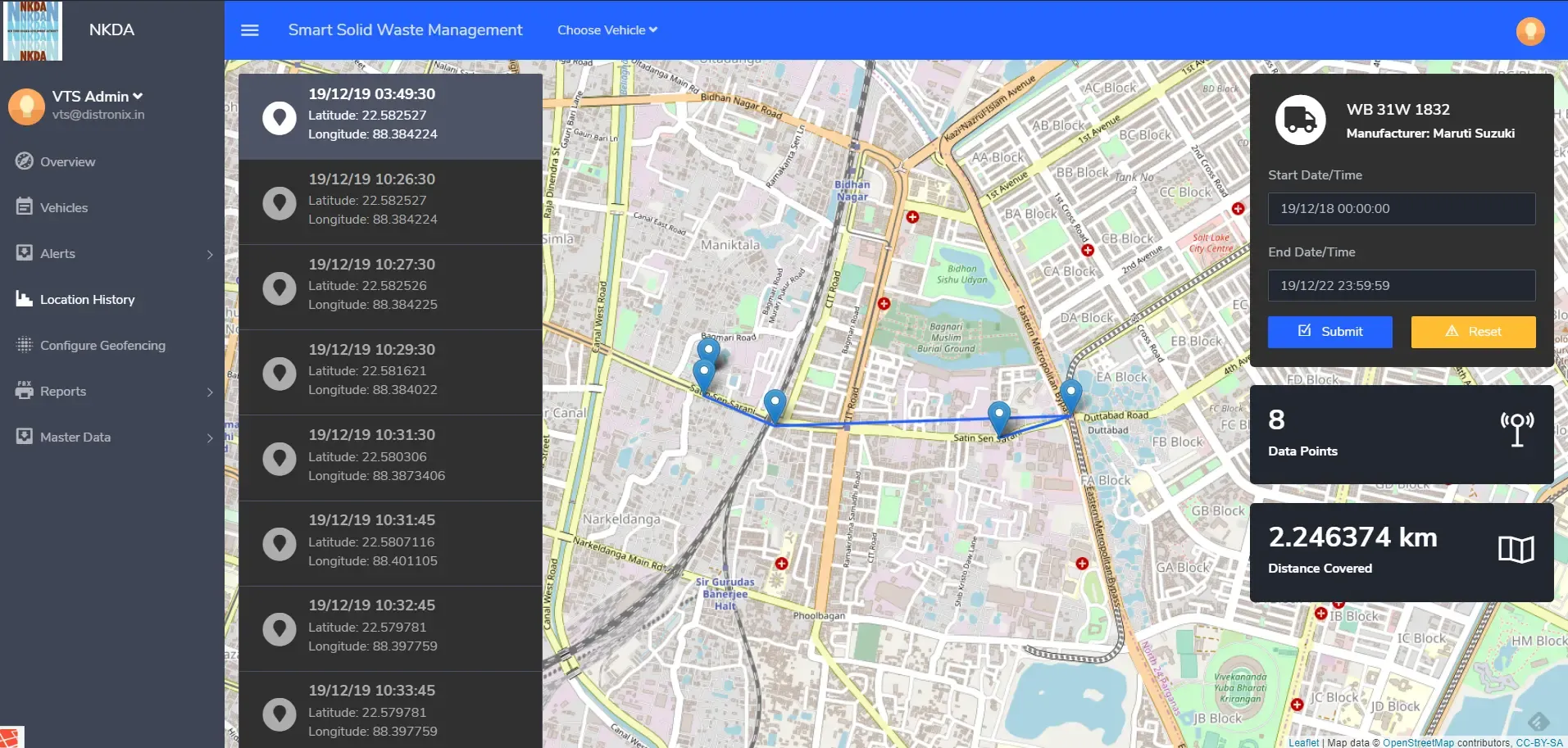
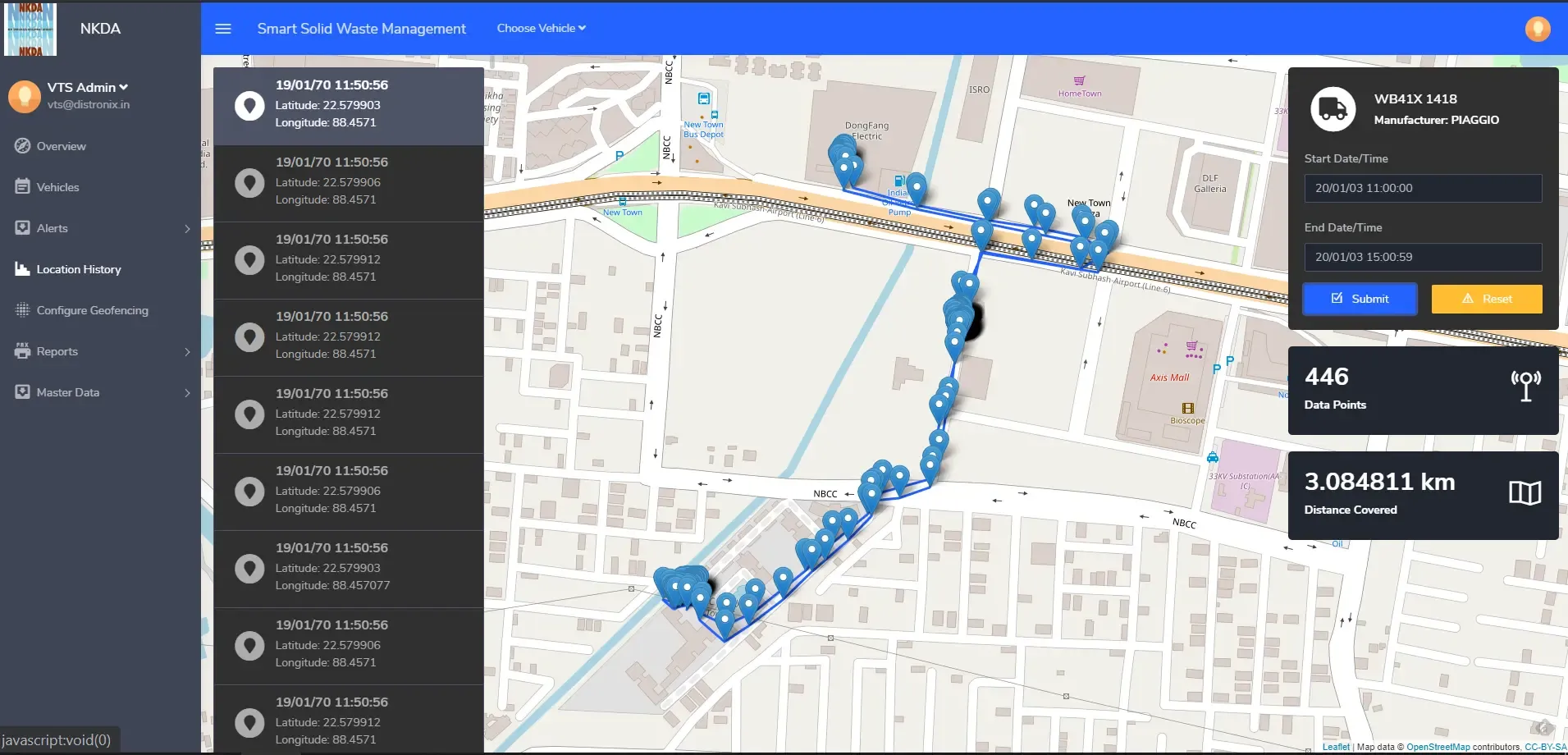
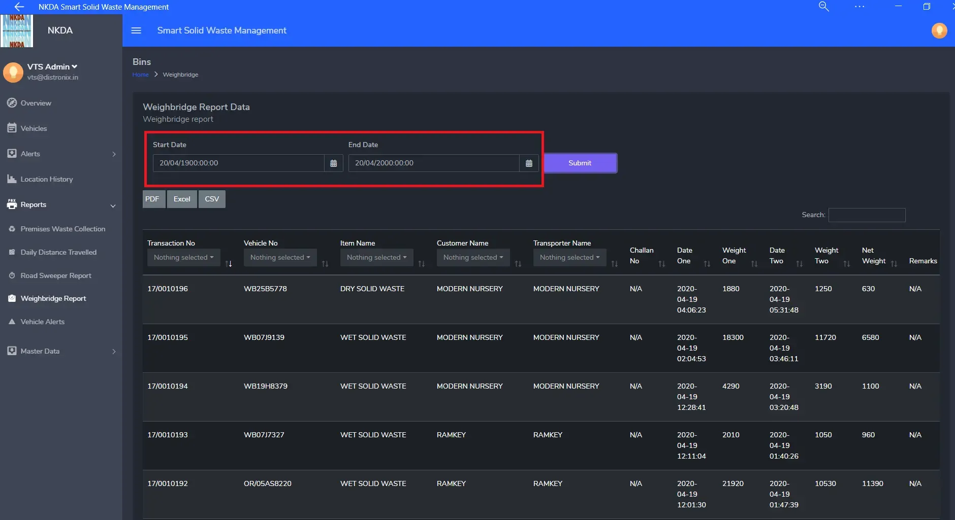
Historical Playback: The system stores breadcrumb trails of every vehicle. Admins can “replay” a van’s route from last Tuesday to investigate complaints or verify contractor invoices (Dead Runs vs. Actual Runs).
Contractor Management: The dashboard visually differentiates between sweeper trucks and standard vans, organizing them by contractor for easier performance audits.
- The Citizen Portal (Engagement)
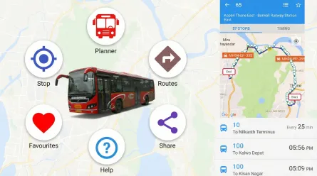
Service-on-Demand: Residents can use the app to check pickup status or book special slots for bulk waste collection.
Transparency: Citizens can see exactly when their waste was collected, reducing false complaints against the city.
Contractor Management: The dashboard visually differentiates between sweeper trucks and standard vans, organizing them by contractor for easier performance audits.
Technical Architecture & Strategic Rationale
We selected a stack designed for Field Durability and Data Volume.
| Component | Technology | Strategic Rationale |
|---|---|---|
| Field Tech | Android + NFC Ntag213 | NFC tags are weather-resistant and harder to spoof than QR codes. Android was chosen for its compatibility with rugged, low-cost field devices. |
| Backend | Node.js / Express | Event-driven architecture handles the high velocity of concurrent GPS pings from hundreds of moving vans. |
| Database | MongoDB | A flexible NoSQL schema is essential for storing millions of unstructured geospatial logs and “Bin Status” events daily. |
| Mapping | Google Maps API | Provides the most accurate turn-by-turn navigation and distance calculations for fuel efficiency reports. |
| Security | Token Auth + SSL | Ensures that sensitive data regarding citizen addresses and government assets remains encrypted. |
Core Focus
Fleet Tracking, NFC Proof-of-Service, Civic Accountability
The Strategic Challenge: The 'Accountability Gap'
- The "Did They Collect It?" Problem:Administrators had no way to verify if a contractor actually visited a specific house or just drove past it.
- Route Inefficiency:Without live data, vans often drove overlapping routes or missed entire neighborhoods, wasting fuel and time.
- Citizen Disconnect:Residents had no visibility into pickup schedules, leading to frustration and overflowing bins.
The Impact: Verified Cleanliness
- 100% Accountability: The "Scan-to-Verify" mechanism eliminated fake pickup reports. Contractors are now paid based on digital proof, not manual logbooks.
- Fuel Optimization: Route analysis reports helped reduce unnecessary "Dead Runs," cutting fuel consumption and fleet wear-and-tear.
- Operational Agility: The "Live Map" allows the authority to dynamically reroute vans to cover missed spots before the shift ends, drastically reducing citizen grievances.


Ready to build a smarter city?
Renderbit builds the digital infrastructure that powers modern governance.
Contact Us to discuss your Smart City strategy.Related Posts


See Our Work in Action.
Start Your Creative Journey with Us!
Renderbit Helper
Welcome!
How can I help you today?